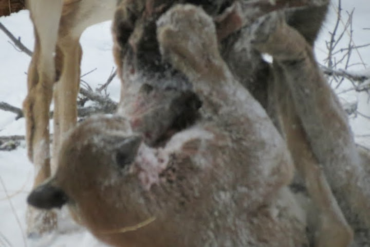
Hydrology and Monitoring of Cinema Bog
This slideshow was presented to a meeting of BC Parks in February 2002 by Pierre Beaudry and Leisbet Beaudry See the pdf at: cinemabogslideshow


This slideshow was presented to a meeting of BC Parks in February 2002 by Pierre Beaudry and Leisbet Beaudry See the pdf at: cinemabogslideshow

From> http://members.shaw.ca/beyondnootka/articles/mount_tzouhalem.html By Lindsay Elms From the Cowichan River estuary, steep slopes rise to craggy lookouts on the summit of the 536 metre high Mount Tzouhalem (Zoo-hay-lum). Hikers, year round, are rewarded with spectacular views over Cowichan Bay and Saltspring Island, and on a clear day Mount Baker can be seen in neighbouring Washington State
ORIGINAL PURPOSE To protect an area of montane and subalpine flora and fauna representative for the North West Cascade Ecosection and protect rare species and special karst habitat. Physical: The reserve consists of the three south/north-draining valleys and headwaters of Liumchen Creek, between the international border and their confluence. The two western of these parallel
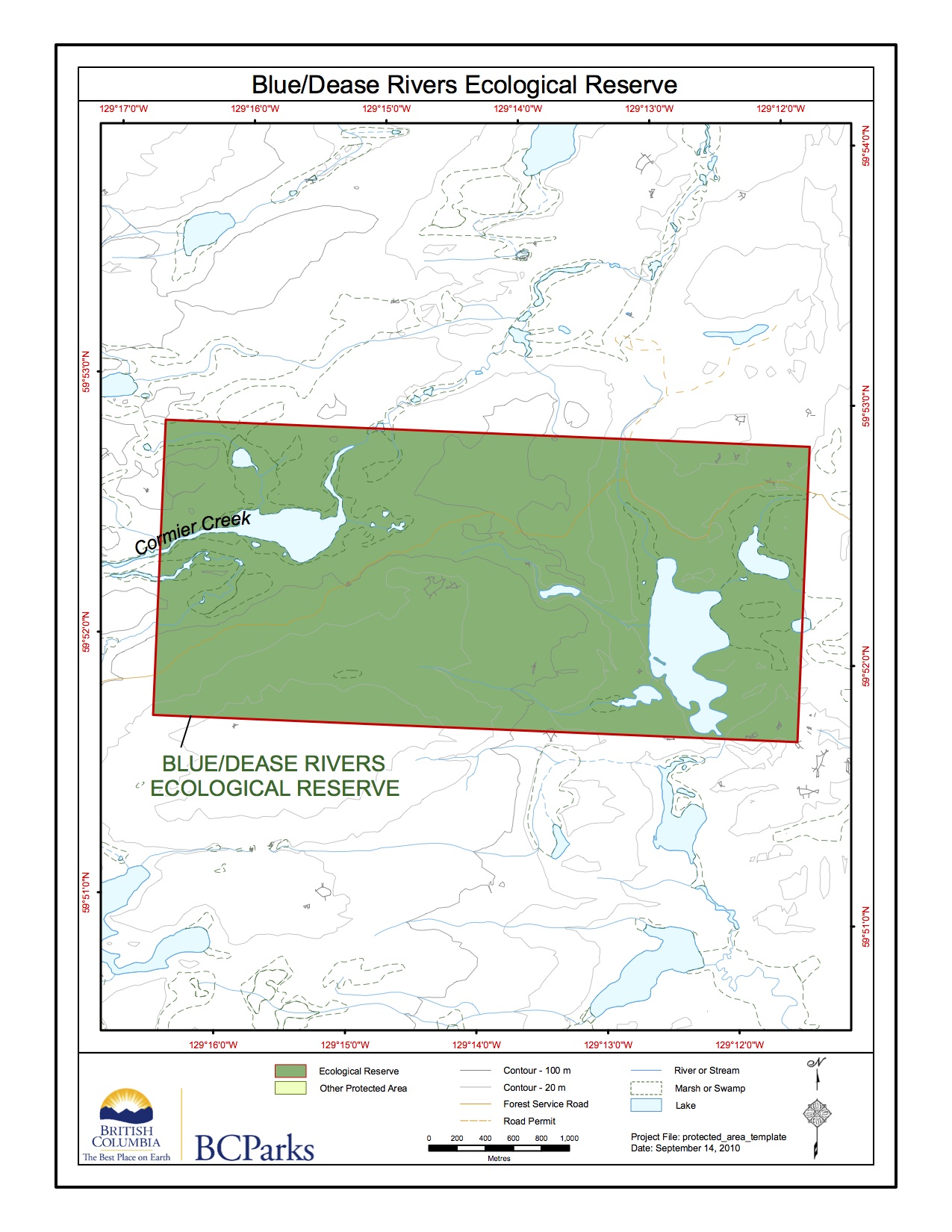
Blue/Dease River ER Topographic
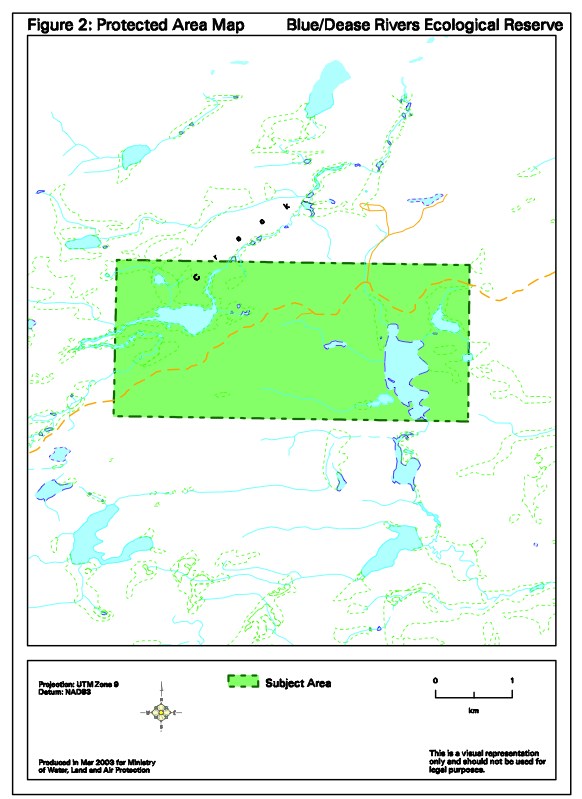
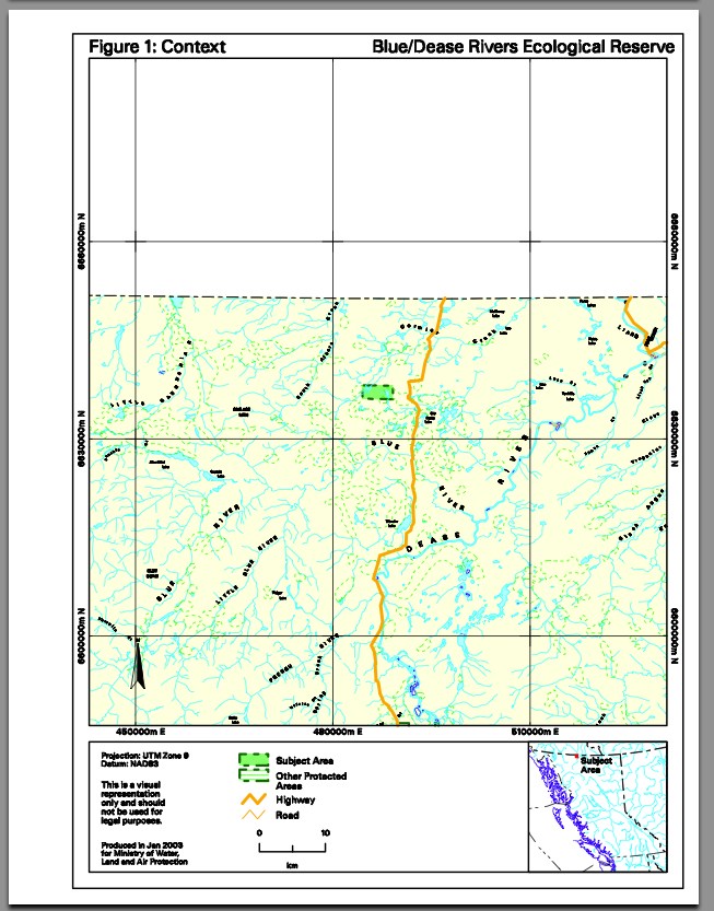
Map Blue/Dease River Protected Area Map
This map adapted from BC Parks:

This map is derived from the BC Parks website:
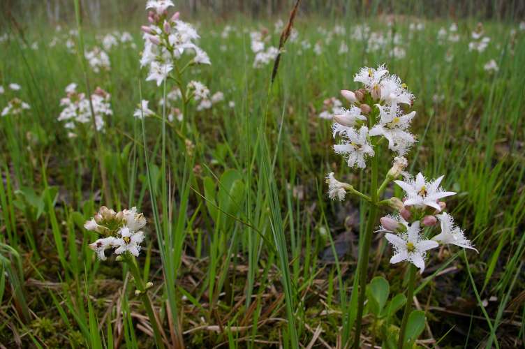
ORIGINAL PURPOSE To protect a site for research on sub-boreal forest types on a poor site, adjacent bogland, and intermediate vegetation types. Physical: The reserve is located on a flat outwash plain about 15 km west of the Parsnip Reach of Williston Lake. It encompasses the southern end of a huge treeless bog which stretches
ORIGINAL PURPOSE To conserve undisturbed ponderosa pine-grassland vegetation. The following is from the BC Parks report. Physical: The reserve is in the bottom of the deeply incised the river cuts westward through the north end of the Cascade Range to join the Fraser. It consists of gently sloping benchlands which give way to steep, gullied