Chickens Neck Mt./ Charlie Cole Creek ER relative location map
This satellite image shows the relationship in location between 4 Northern BC Ecological Reserves., near Highway #37. It is adapted from the BC parks website.

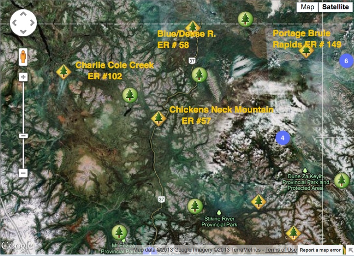
This satellite image shows the relationship in location between 4 Northern BC Ecological Reserves., near Highway #37. It is adapted from the BC parks website.
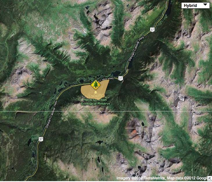
Two maps , topographic and satellite adapted from the BC parks website showing location .
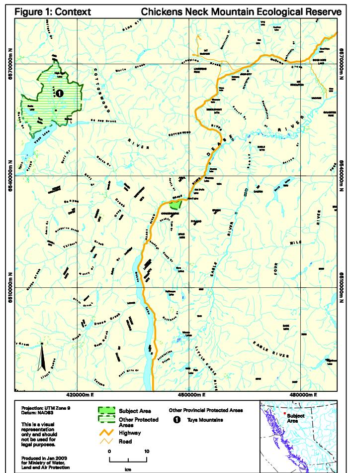
2 maps of Chicken’s Neck Mountain adapted from BC Parks Management Direction Statement

This document outlines the background leading to the designation of the Dease River Deferred Planning Area, the resource values of the study area , and four land status alternatives to manage the resources therein. See the Complete PDF file : bc government 1982 dease_river_deferred_study_area