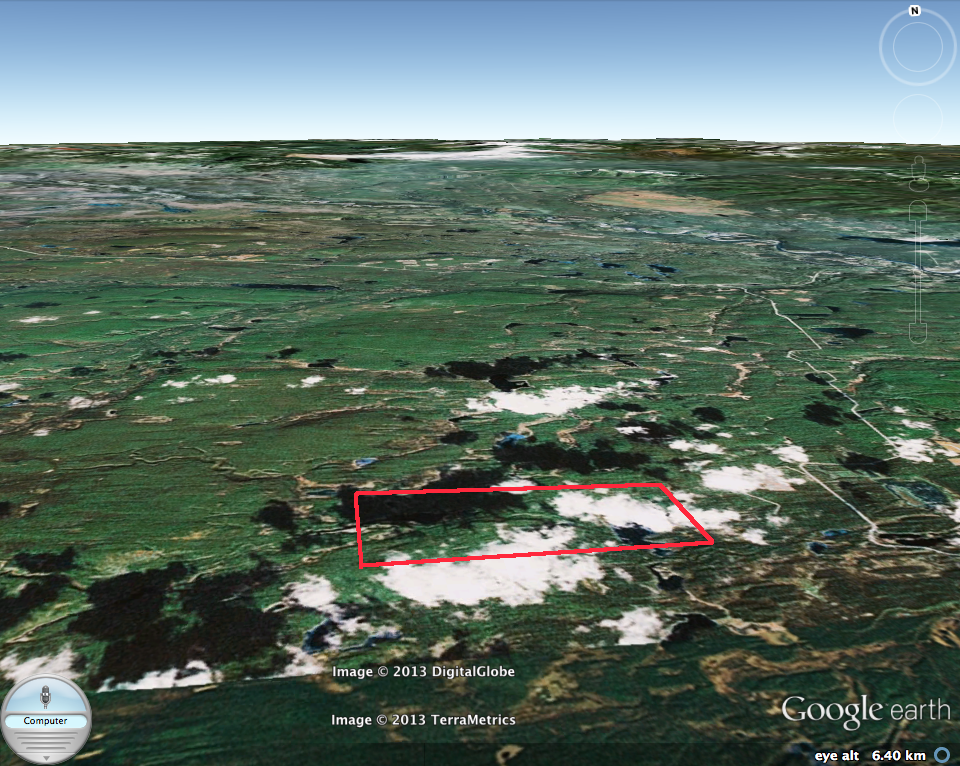
Blue/Dease River Ecological reserve 3D image
This image is from Google Earth 3D . The red line represents the approximate boundary of the Ecological reserve.

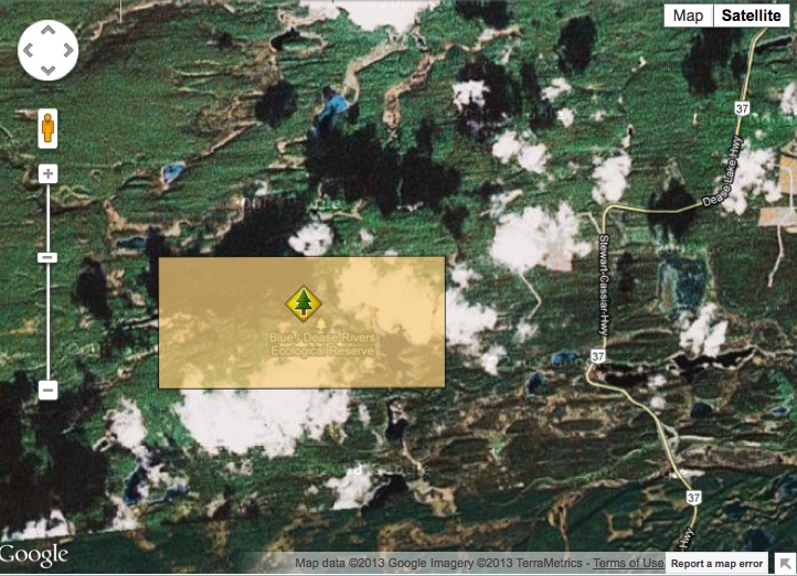
This image is from Google Earth 3D . The red line represents the approximate boundary of the Ecological reserve.
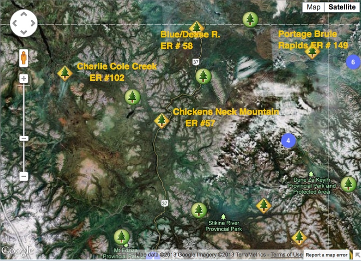
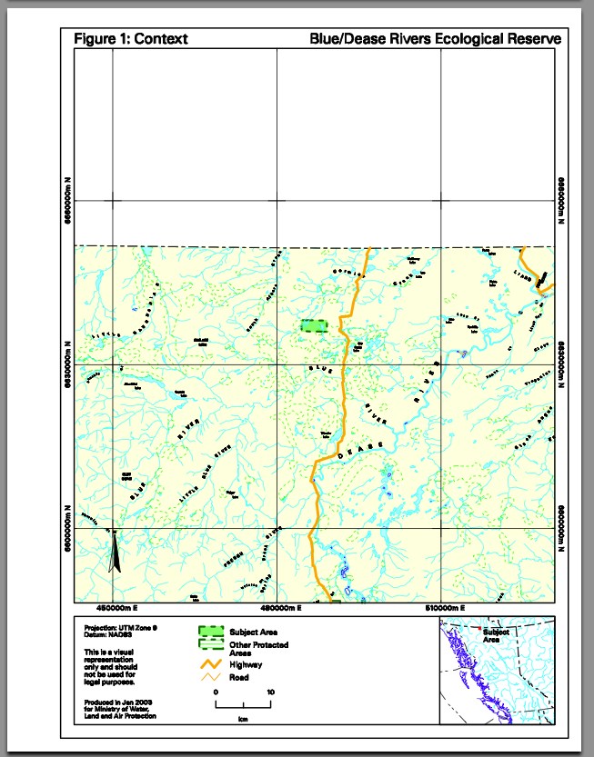
This satellite image shows the relationship in location between 4 Northern BC Ecological Reserves., near Highway #37. It is adapted from the BC parks website.
This map was adapted from the BC Parks website.
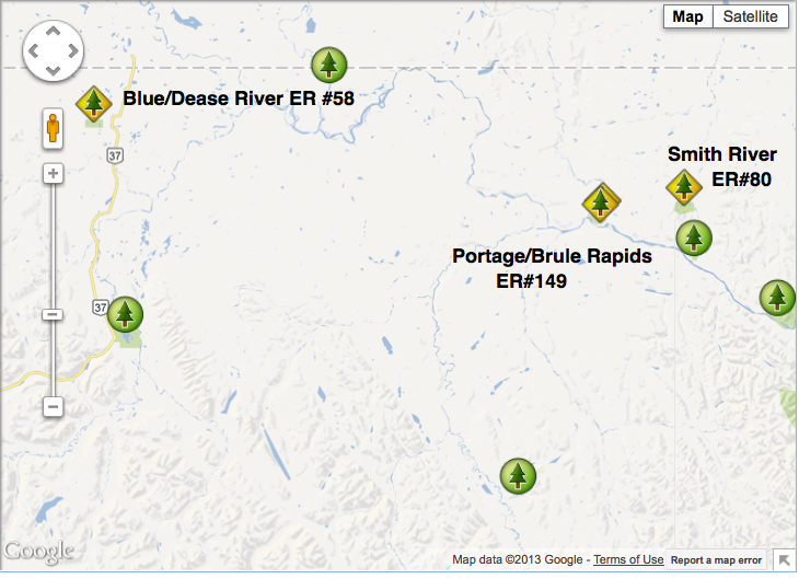
The relative locations of Blue/Dease River, Portage/Brule and Smith River Ecological reserves are shown here. Note Stewart/Cassier/ (#37) on the left.
Introduction Purpose of the Management Direction Statement Management direction statements (MDS) provide strategic management direction for protected areas that do not have an approved management plan. Management direction statements also describe protected area values, management issues and concerns; a management strategy focused on immediate priority objectives and strategies; and, direction from other planning processes. While
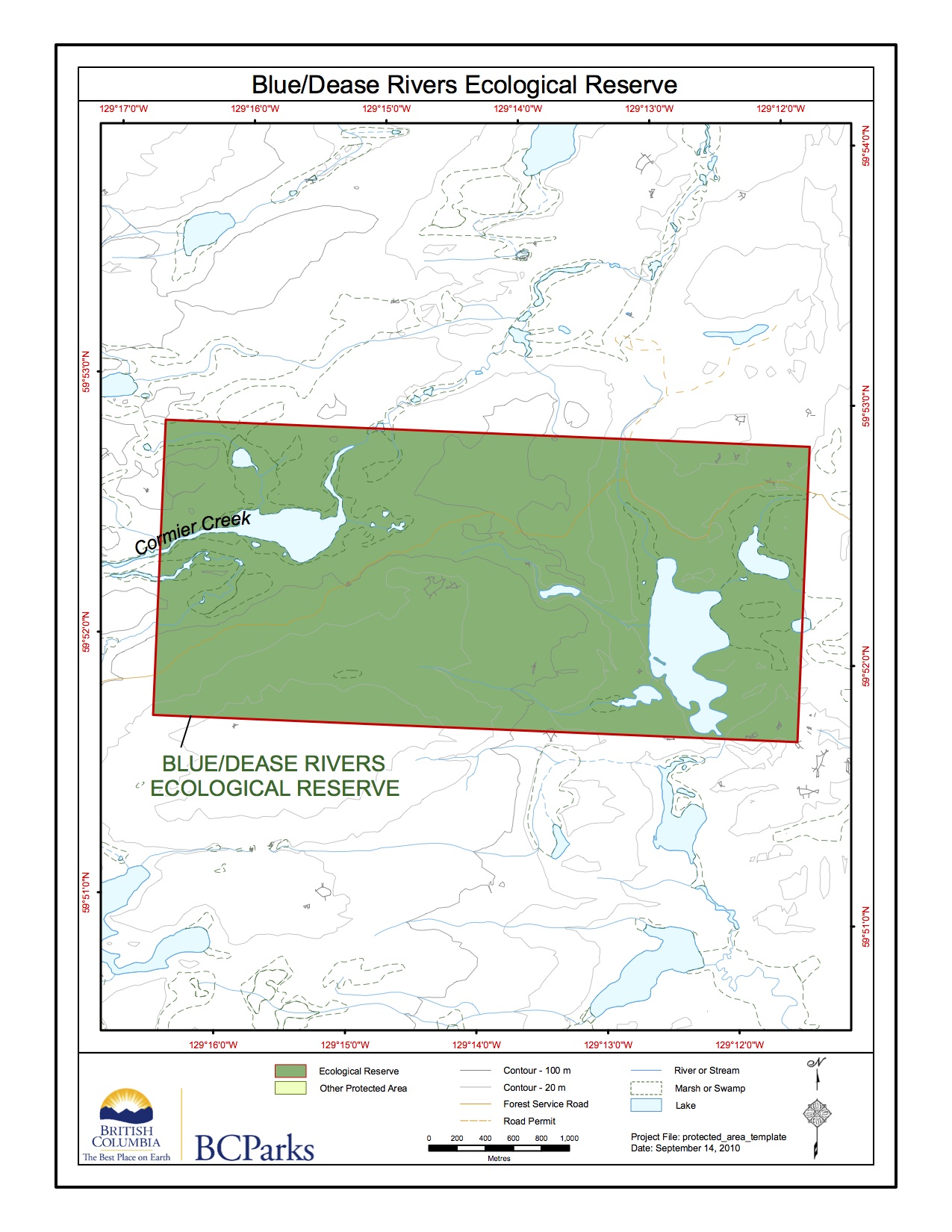
Blue/Dease River ER Topographic
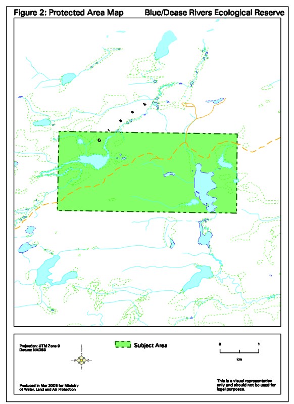
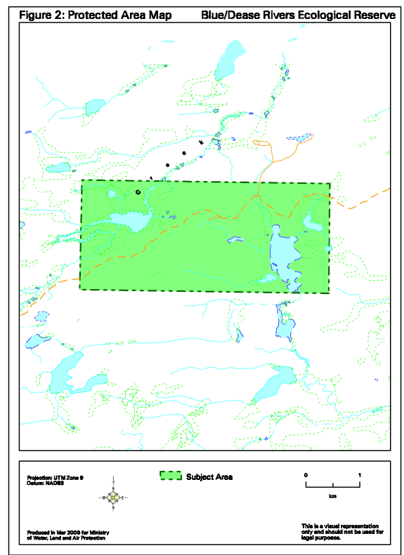
Map Blue/Dease River Protected Area Map
This map adapted from BC Parks:

This document outlines the background leading to the designation of the Dease River Deferred Planning Area, the resource values of the study area , and four land status alternatives to manage the resources therein. See the Complete PDF file : bc government 1982 dease_river_deferred_study_area