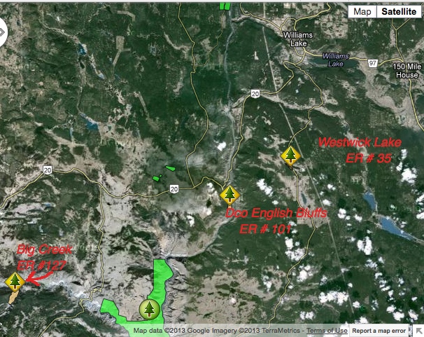
Big Creek ER Location Map
This map has been adapted from the BC Parks website.

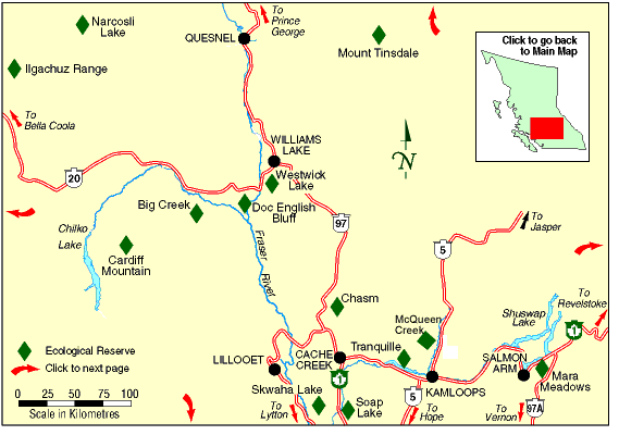
This map has been adapted from the BC Parks website.

This image was constructed from a google earth 3D view. The red line represents the approximate boundary of the ER.
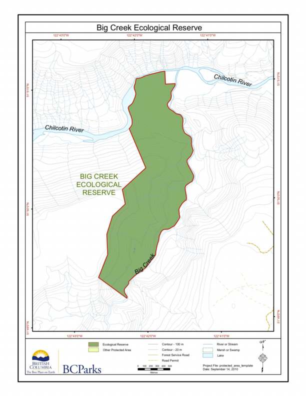
BC Parks map of the Big Creek Ecological Reserve, showing relationship to the Chilcotin River.
The two maps following are adapted from the BC Parks Website.
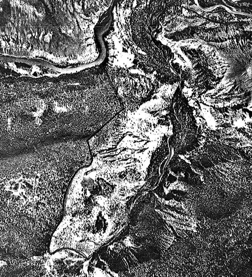
Aerial photo of the Big Creek Ecological Reserve.

Located at the Confluence of Big Creek and the Chilcotin River, ca 30 km ESE of Hanceville… includes maps and airphotos. To protect an exceptionally well-preserved natural grassland ecosystems representative for the lower elevations bunchgrass prairie of the Chilcotin. Also protection for the resident mule deer herd and its predators. See the PDF file: Roemer