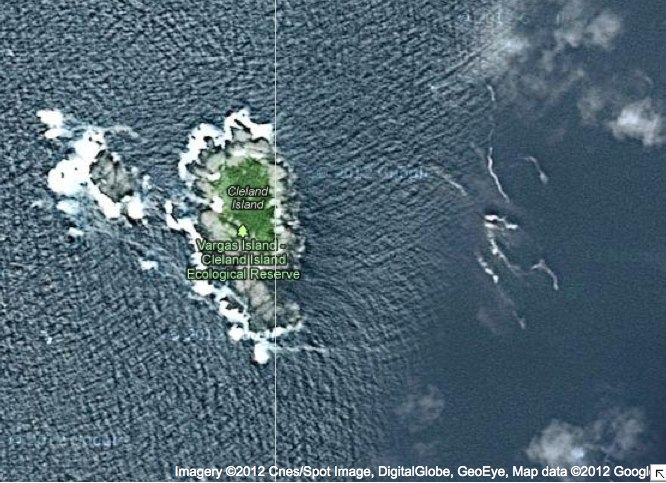
Cleland Island map in relation to other BC Parks
Two maps are included here the first a close up of satellite imagery, the second that shows the location in relation to other BC Parks.

Two maps are included here the first a close up of satellite imagery, the second that shows the location in relation to other BC Parks.
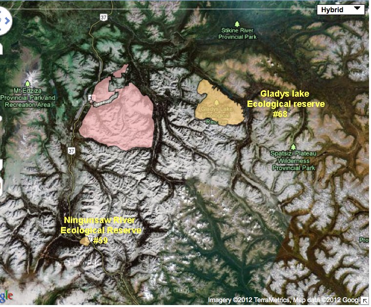
ORIGINAL PURPOSE: To preserve an elevational sequence of three biogeoclimatic zones in a transition between coastal and interior climates PHYSICAL: The reserve encloses a rounded mountain on the interior flank of the Coast Mountains. This mountain, in contrast to higher peaks south and west of it, was over-ridden by Pleistocene ice, and is too low

Volunteer Warden, Anne Stewart, of the Bamfield Marine Sciences Centre, Bamfield, BC, V0R1B0 Did this report for 2005-2006on the Bamfield Marine Sciences Centre Volunteer Biodiversity Monitoring Monitoring Activities Except for one visit made in collaboration with BC Parks personnel (described below as site visit May 31, 2006), biodiversity monitoring activities at the Baeria Rocks Ecological