
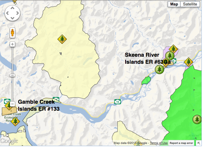
Gamble Creek ER Map
This map was adapted from the BC Parks website:

Gamble Creek ER#133 Management statement March 2003
Table of Contents Forward and Approvals Page……………………………………………………………………………………………..i Introduction Purpose of the Management Direction Statement ……………………………………………………………………..1 Context…………………………………………………………………………………………………………………………….1 Ecological Reserve Attributes Conservation……………………………………………………………………………………………………………………..2 Research and Education………………………………………………………………………………………………………2 Other Values of Interest ………………………………………………………………………………………………………2 Commercial Business Opportunities……………………………………………………………………………………….2 Significance in the Protected Areas System……………………………………………………………………………..2 Land Uses, Tenures and Interests Access……………………………………………………………………………………………………………………………..4 Existing Tenures, Alienations and Encumbrances………………………………………………………………………4 Adjacent Patterns of Land Use……………………………………………………………………………………………..4 First Nations
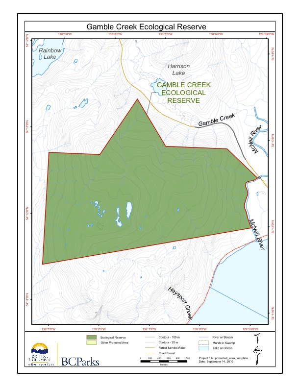
Gamble Creek ER # 133 maps
These Gamble Creek maps are from the BC Parks Website. Park boundaries in relation to adjacent features are represented.

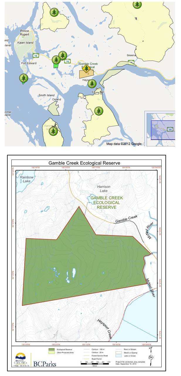
Gamble Creek ER #133 Tenures and Land Use and Regional Context maps
These 2 maps are from the BC Parks Management Direction Statement , Skeena region, March 2003.