
News/Reports
Trout Creek ER#7 from Google Earth
These static images were extracted from Google Earth 3d imaging.

The red dots show the approximate boundary of the reserve looking from south to north
The following views are from differnet directions rotating from the view above to counter clockways

View looking west.

View south

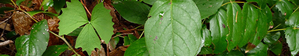
The following images were taken in the early summer of 2006


view south April 2006

view west , April 2006