
News/Reports
Mount Tuam Management Plan 2012
1.1
Management Plan
Purpose
The purpose of this management plan is to provide strategic management direction for Mount Tuam Ecological Reserve
.
This management plan replaces the 2003 Mount Tuam Ecological Reserve Purpose Statement.
The primary objectives of the management plan are to:
•outline the role the ecological reserve plays in British Columbia ’s(BC) protected areas system;
•identify management objectives and strategies for the protection of natural and cultural values ;
and,
•identify the role of First Nations, the local community and others in implementing the management plan.
See the full colour version in this PDF: mttaum-er-mp

1.2 Planning Area
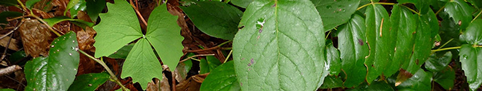
Mount TuamEcological Reserve is located on the west side of Salt Spring Island, in the southern Gulf Islands off the east coast of Vancouver Island, about half way between Nanaimo and Victoria. The ecological reserve contains a variety of features, includingGarry oak meadows,
moss-covered rocky outcrops and bluffs, and severalspecies-at-risk.
The ecological reserve is one of a group of provincial parks, provincial ecological reserves, regional parks, and private protected areas on Salt Spring Island. These protected areas include Ruckle Provincial Park, Cyril Cunningham Nature Reserve, Mill FarmRegional Park Reserve,
Burgoyne Bay Provincial Park, Mount Maxwell Provincial Park, Mount Maxwell Ecological Reserve, Manzanita Ridge Nature Reserve, Mount Erskine Provincial Park, and Lower Mount Erskine Nature Reserve (Figure 2).Overlooking Satellite Channel on the steep and rugged southeastern slopes of Mount Tuam,this ecological reserve protects a representative area of Gulf Islands’ forest ecosystems
including stands of Garry oak, pure stands of arbutus, coastal Douglas-fir forests, and rare ecosystems and plant species. The ecological reserve consists of three discontinuous areas of land (Figure 3),two of which include part of the rocky shoreline. Creeks, swamps and waterfalls
shape the eastern section of the ecological reserve, which contains mixed second-growth Douglas-fir, arbutus, and western redcedar forest. There is also a documented archaeological site found in the ecological reserve.
Salt Spring Island is home to one of Canada’s largest Garry oak ecosystems, one of the most threatened ecosystems in the country. In Canada, Garry oak ecosystems are found only on southern Vancouver Island, the Gulf Islands, and in two isolated locations in the Fraser River
Valley. The ecological reserve conserves stands of Garry oak and associated vegetation that are representative of this ecosystem.
